
Check flooding and border strip method are two types in surface irrigation, one of the major methods of irrigation. In the blog, we are going to learn everything about these two with figures.
Before we begin, let’s look at the classification of surface irrigation. Check flooding and border strip method are two that comes in the bottom. I will surely cover other main categories in another blog.

We saw the hierarchy of methods of surface irrigation. Let’s jump right into the first method which is border strip method.
Border strip method in detail
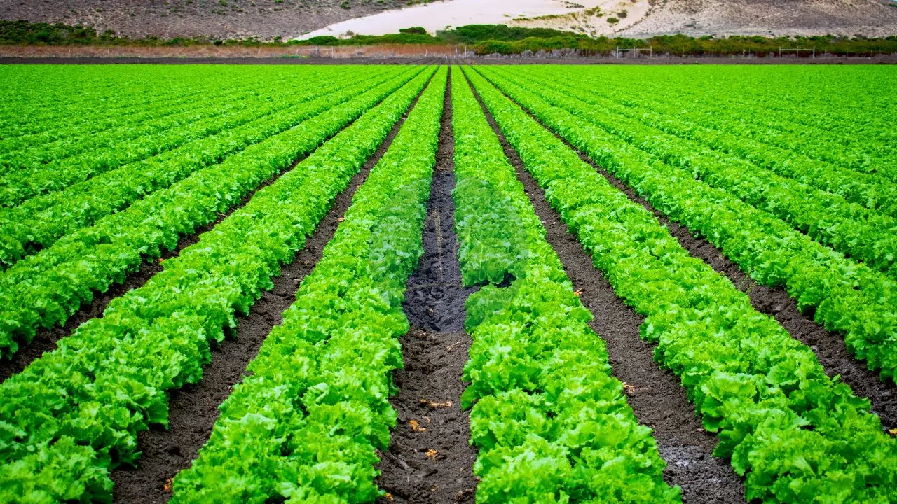
The diagram below shows border strip method.

Border strip method is otherwise called border strip flooding method. The main points regarding this are,
In the border strip flooding method, the farm is divided into a series of strips 10 to 20 metres wide and 100 to 300 metres long.
These strips are separated by low levees or borders and run down the predominant or any other desired slope.
To irrigate, water is turned from the supply ditch onto the head of the border. Water advances confined and guided by two borders in a thin sheet towards the lower end of the strip.
The surface is essentially level between two borders so that the advancing sheet of water covers the entire width of the strip.
The lengthwise slope varies from 0.2 to 0.8 %. The border strip should be level cross wise.
Cross slopes within border strips cause water to concentrate along the lower side of the strip causing uneven irrigation.
This method is especially suited to forage crops,its advantage being that for a relatively low investment a system can be developed which can afford the highest irrigation efficiency and lowest labour requirements.
With highly mechanised farming, large area can be irrigated within a short time by border strip method. The length of border strip depends upon how quickly it can be wetted over its entire length. This depends upon,
- Infiltration rate of the soil
- Longitudinal slope of the land
- Size of irrigation stream available
The following lengths are suggested for moderate condition
| Type of soil of border strip | Length |
| Sandy soil or sandy loam | 60- 90m |
| Medium silt loam | 90-150 |
| Clay loam or clay soil | 150- 300 |
The first 6 to 12m length of the strip should be made level to ensure uniform spreading of water. Water is diverted to the border strips from the following
Warth or concrete ditches
These run at a flat longitudinal grade. The water is discharged into the strips via border gates, aluminum syphons or plastic piping
Underground concrete pipes through risers
In this method, water is let into the strips by concrete risers
That’s it about border strip method. Let me walk you through check flooding now.
Also read: Concept of Green Building- 4 comprehensive concepts easy read!
Check flooding
The diagram given below shows check flooding.

The method is also known as irrigation by plots since the entire area is divided into several plots obtained by subdividing the entire area by levees
Moving on to the main details,
- Check flooding is similar to free flooding except that the water is controlled by surrounding the check area with low, flat levees surrounding each check while in free flooding no such levees are provided and the strips are divided by field channels.
- Each plot is practically level. The size of levee depends upon the depth of water to be applies as well as the stability of the soil when it is wet.
- Water is conveyed to the land by a system of supply channels a swell as laterals.
- Usually, there is one field channel for every two rows of plots. Water is admitted to these plots at the higher end and the supply is cutoff as soon as the lower part of the plot has received the sufficient depth of water.
- Oblong plots are preferred to the square plots. The size of the plots depends on the porosity of the soil.
- In a levelled ground, the plots are generally rectangular, but if the ground has same initial slope, the checks or levees may follow contours.
- Contour checks are prepared by constructing ridges along contours at vertical intervals of 6 to 12 cm and connecting them with cross ridges at intervals.
- Very little crop land is perfectly level, and the water does not stand at a uniform depth over the entire check. This results in uneven distribution of water within the plot.
- Low area will receive too much water and high gets too little.
- The size of check basins is dependent on the infiltration rate. It may vary from 1m2 for growing vegetables and other intensive irrigation to 1- 2 hectares for growing rice under wet land conditions.
- However, the more common size varies from 0.03 to 0.06 hectares for medium soils. The size of stream should be sufficient to cover the entire basin in a relatively small portion of time required
So, that was the main details on check flooding.
Also read: Innovative Water Conservation Methods Unlocked.
What are your thoughts on border strip method and check flooding? Let me know that in the comments.
2 thoughts on “Check flooding and Border strip methods of irrigation| Types of surface irrigation”
Comments are closed.